How to Make Spray Prescription Maps for Your Golf Course
A prescription map tells a GPS sprayer exactly where to apply. Courses that run GPS sprayers usually pay a dealer or consultant to produce these files, or keep spraying from boundaries that were mapped once and never updated. This guide covers how to make your own spray prescription maps, from areas your crew measures and keeps current.
Measure your areas first
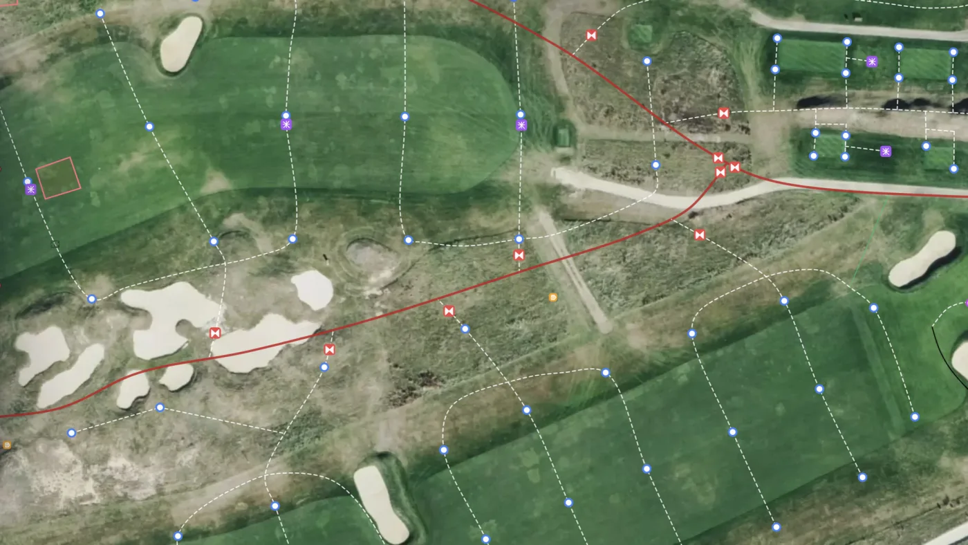
Before you can build a prescription, the surfaces you maintain need to be mapped, because those boundaries are what the sprayer follows. In Turfile you outline each area by hand or click once and let Vision trace the surface for you, then tag it by hole and area type.
Every mapped area lands in a ledger with square footage totals by hole and area type. Accurate areas are useful well beyond spraying. Product rates, sand orders, and budget lines all start from how much area you actually maintain, and most courses run those numbers on estimates. Area measurement in Turfile gives you one reliable figure your team keeps current.
Build the prescription
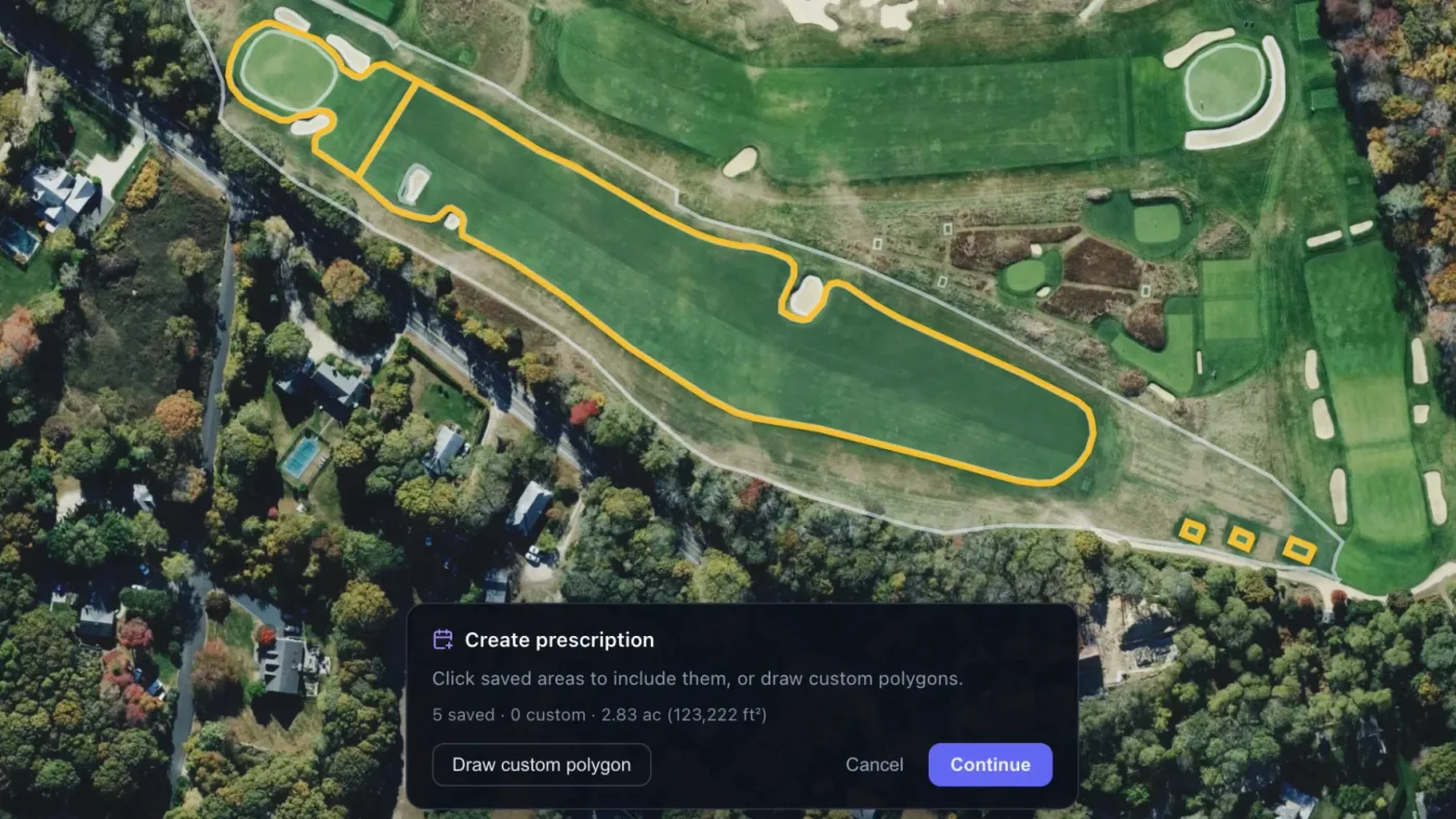
A prescription is a planned application: the ground to treat, a planned date, and notes. Select the mapped areas you want to include, and draw a one-off polygon for any ground you have not mapped yet.
You can also exclude ground. If you are spraying a green but skipping its back half, add a negative area and the sprayer stays off it. When the selection is right, give it a title like “Greens fungicide July,” set the date, and save. Your crew can see what is planned and what has been applied. The prescription docs show each step.
Export a shapefile your sprayer reads
Any prescription exports as a shapefile ZIP that loads straight into a GPS sprayer display. The ZIP contains the four standard shapefile parts (.shp, .shx, .dbf, .prj), which is the same format a consultant would deliver. You enter the application rate at export, in whatever unit your display is configured for, and transfer the file.
There is no per-file fee and nothing to wait on. When a boundary changes, you update the map and export again.
Fix the offset once
If the sprayed boundary sits a few feet off the map in the field, set up the prescription offset once and every future export corrects for it.
Keep the history
Mark each prescription complete once it has been applied, and the completed list becomes your application history: what was sprayed, where, and when. For work that repeats, put the area on a recurring schedule and the next application comes due on its own instead of depending on somebody remembering the interval.
Frequently asked questions
What file format do GPS sprayers use for prescription maps? Shapefiles. A prescription map is delivered as the four shapefile parts, usually zipped, and most sprayer displays read the ZIP directly. If your display needs loose files, unzip it and keep the four files together in one folder.
Do we need a dealer or consultant to make prescription maps? No. If your areas are mapped, building a prescription and exporting the shapefile is a few minutes of work you do yourself, and you can repeat it as often as boundaries change.
What if the sprayed area does not line up with the map? If the error is consistent, it is a GPS offset between the sprayer and the base map, and a one-time calibration corrects it in every future export. The export docs cover it alongside the export steps.