
Irrigation mapping for golf courses.
Never search for the same valve twice. Every head, valve, and pipe run on a live map, with its full service history attached.
No survey company. No GIS degree.
Mapping an irrigation system used to mean two bad options: pay a survey company thousands every time the map needs an update, or take on complicated GIS software nobody on the crew has time to learn.
Turfile is the third option. It costs a fraction of a single survey visit, and it is simple enough that anyone on your team can map the system, update it, and use it every day. If you can read a map, you are qualified.
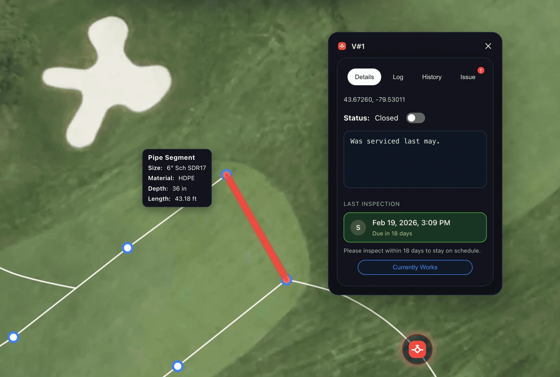
Map your entire system from your phone.
Stand at a sprinkler head, drop it on the map, move on. Photos, specs, and notes attach to the exact point as you go, and pipe and wire runs trace between them. GPS irrigation mapping, with hardware your crew already carries.
What lives in one veteran’s memory becomes a live as-built the whole crew can open, this season and twenty seasons from now.
From static as-built to living map.
The old way
- Expensive mapping service to produce it
- Static as-built that can’t change
- Out of date as soon as something moves
- Nowhere to log repairs or history
 With Turfile
- Affordable, self-serve irrigation mapping software
- Living map anyone on the crew can update
- Every change captured as it happens
- Repairs and history documented on the asset
Your system, your symbols.
Create your own icons, set your pipe styles and colours, and build the exact legend your crew already reads. Quick couplers, isolation valves, splice boxes, the oddball fittings every course accumulates: if it is in the ground, you can give it a symbol and put it on the map.
The result looks like your course, not a generic template.
Import it in minutes.
Import your GIS files directly into Turfile with our AI assisted workflows, whether the system was mapped years ago or last week by an RTK crew. Shapefiles, GeoPackages, KML, and GeoJSON come straight in, with RTK level accuracy preserved.
Only have a static PDF or paper as-built? We will georeference it for you and upload it as a layer, so you can build your live as-built with the old drawing as your reference.
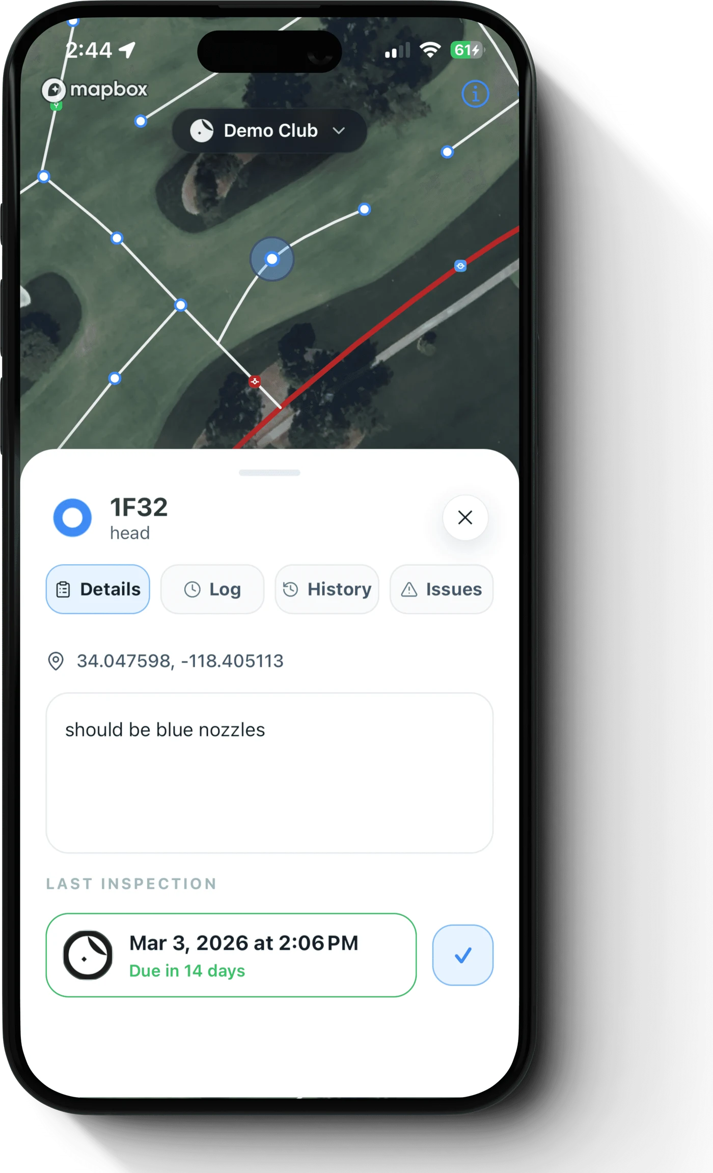
Tap a head. See its history.
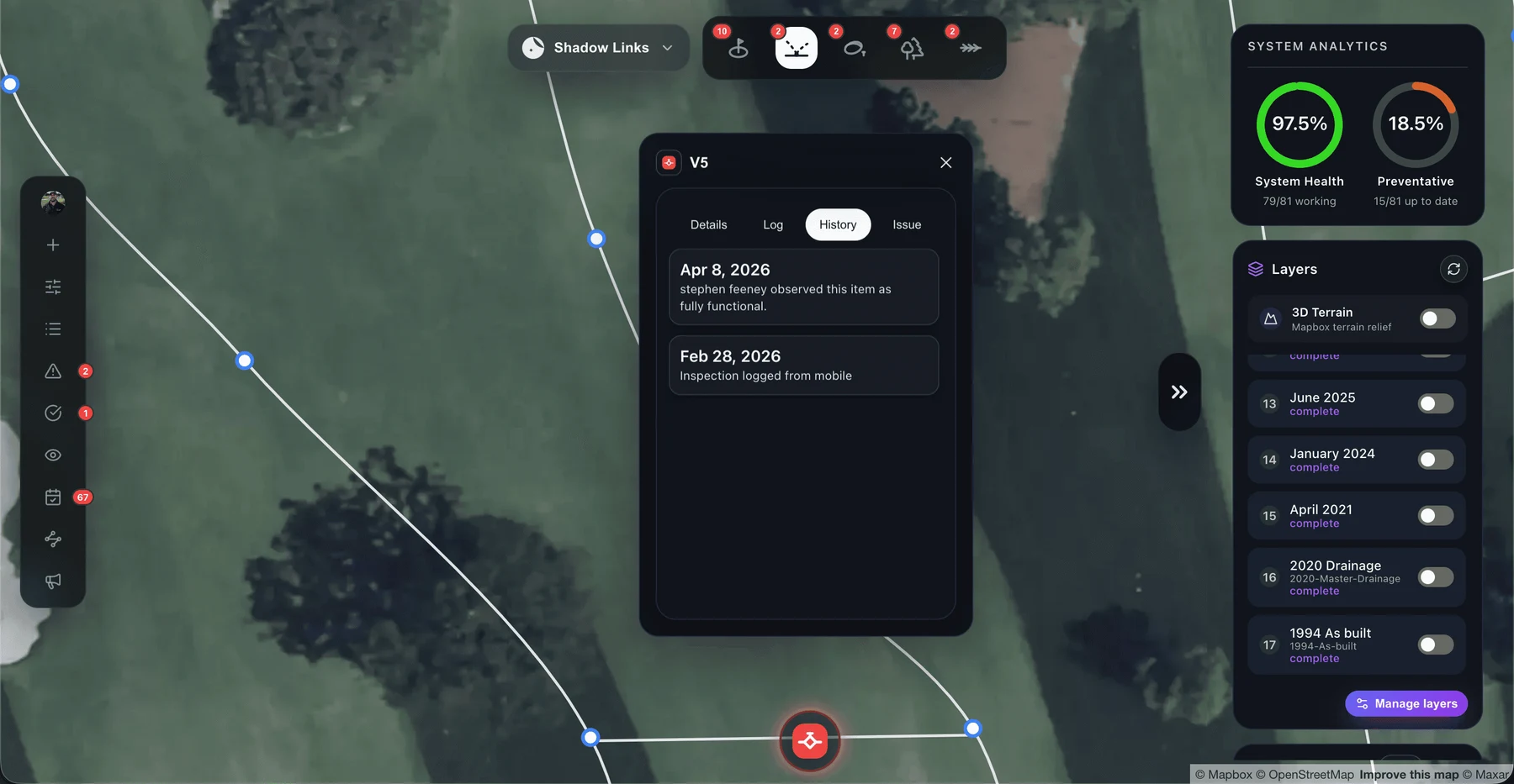
Every asset carries its own record: repairs, inspections, and past issues, logged on the item itself. You know what happened, when, and who checked it.
Recurring problems show up as patterns instead of surprises. New staff learn the system from the map, not from a veteran’s memory.
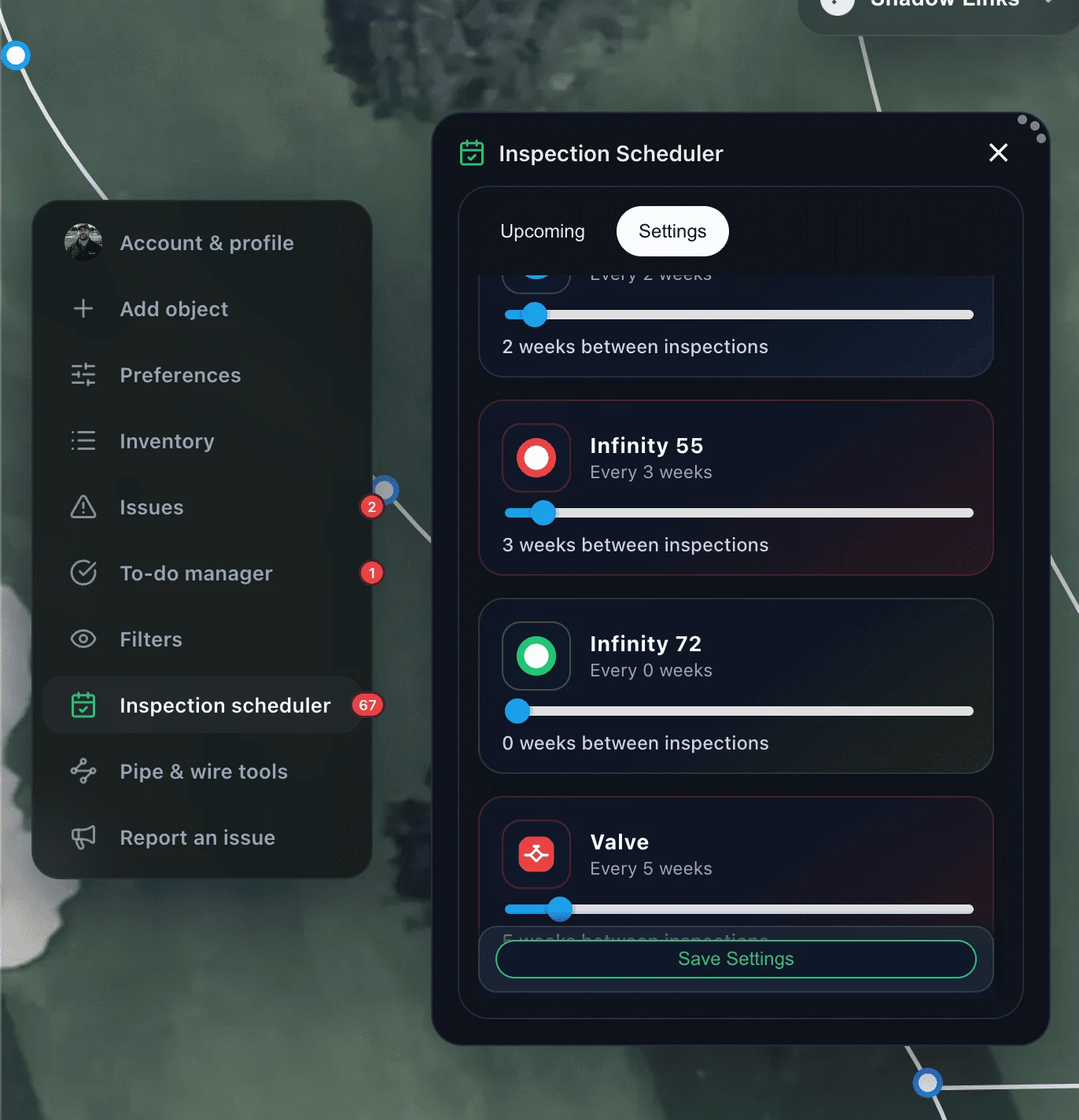
Set the interval, log the check.
Give each asset type its own inspection schedule: heads weekly, valves monthly, satellites seasonally. Your team logs each check in the field as the work gets done.
What was inspected is on the record, not in someone’s head.
Flag it, assign it, close it.
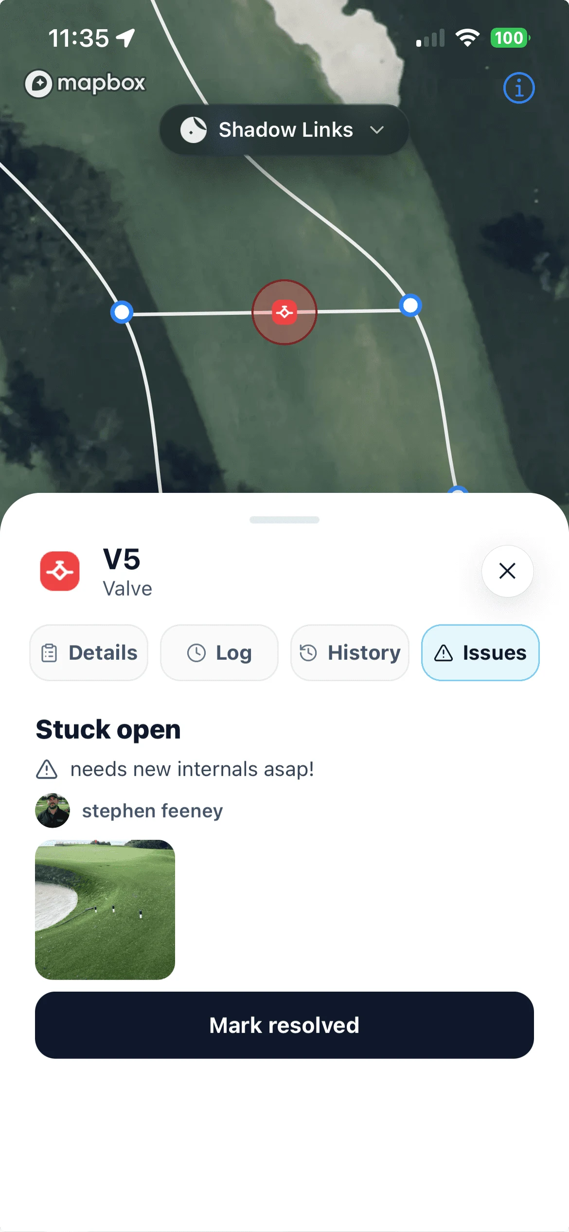
Spot a broken head, flag it on the map with a note and a photo, and assign it on the spot. You get notified the moment it is solved. Nothing slips into a group chat or a spreadsheet and disappears.
Common questions, clear answers.
Do we need GPS hardware?
No. Your phone is enough to build a map your crew can work from every day. If precision matters to you, we recommend a Bad Elf or another mobile-connected GNSS receiver to tighten your positioning, or bring an RTK crew onsite for a survey and upload the results straight into Turfile.
We already have GIS data or an as-built. Can we use it?
Yes. Import shapefiles, GeoPackage, KML, KMZ, or GeoJSON directly, a whole system at once. If all you have is a paper or PDF as-built, we will georeference it and upload it as a layer so you can map the live system right over it.
Can we get our map back out of Turfile?
Yes. Export produces GIS-ready shapefiles for QGIS and ArcGIS, styled layers plus an all-in-one GeoPackage, or a print-ready PDF map sheet framed to the exact area you want.
Where should we start?
Most crews start mapping their irrigation system a few holes at a time between other work, and the map is useful from the first asset you add. The irrigation mapping guide covers setup through exports, and our field guide on finding buried irrigation valves and heads helps when the locations themselves are the mystery.
Does Turfile map drainage too?
Yes. Drainage gets the same treatment: catch basins, drain lines, outfalls, and cleanouts, each with its own service history and inspection schedule. See drainage mapping.
Map today for a clear future.
Pick a plan, invite your team, and start mapping right away.